
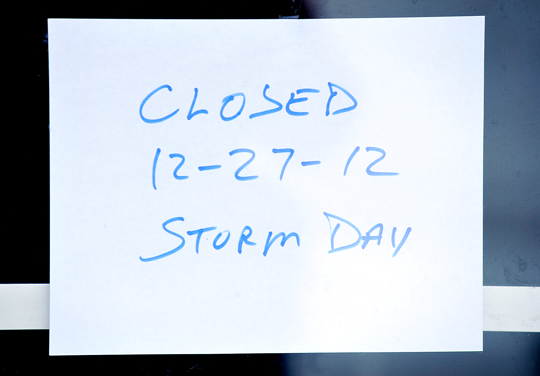
LEWISTON — The biggest storm yet this winter is shutting down state, county and municipal offices and has led to many stuck vehicles so far Thursday morning.
And weather experts say the storm has only begun.
“We still have a long way to go,” National Weather Service meteorologist Tom Hawley said about 9:45 a.m. “It’s a good, old-fashioned nor’easter.”
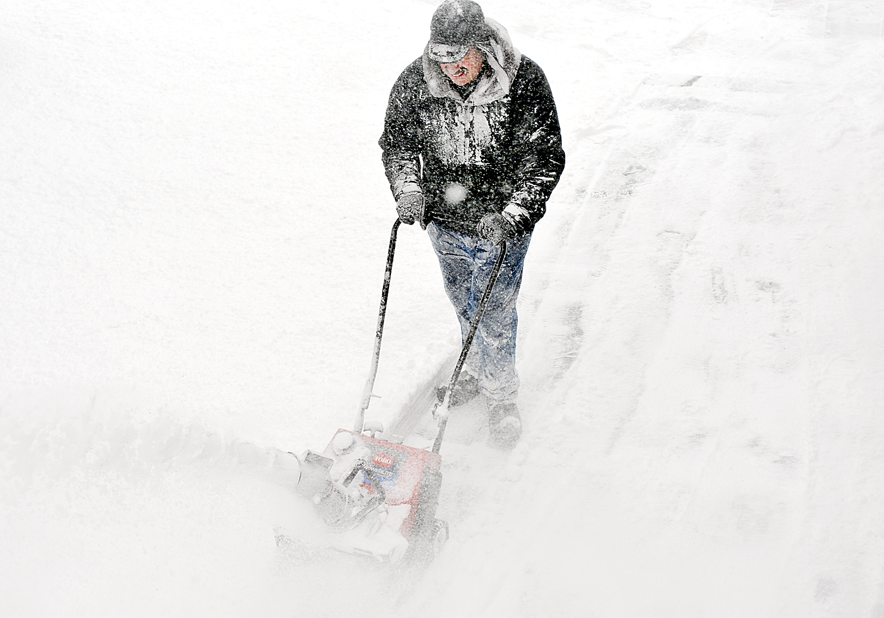
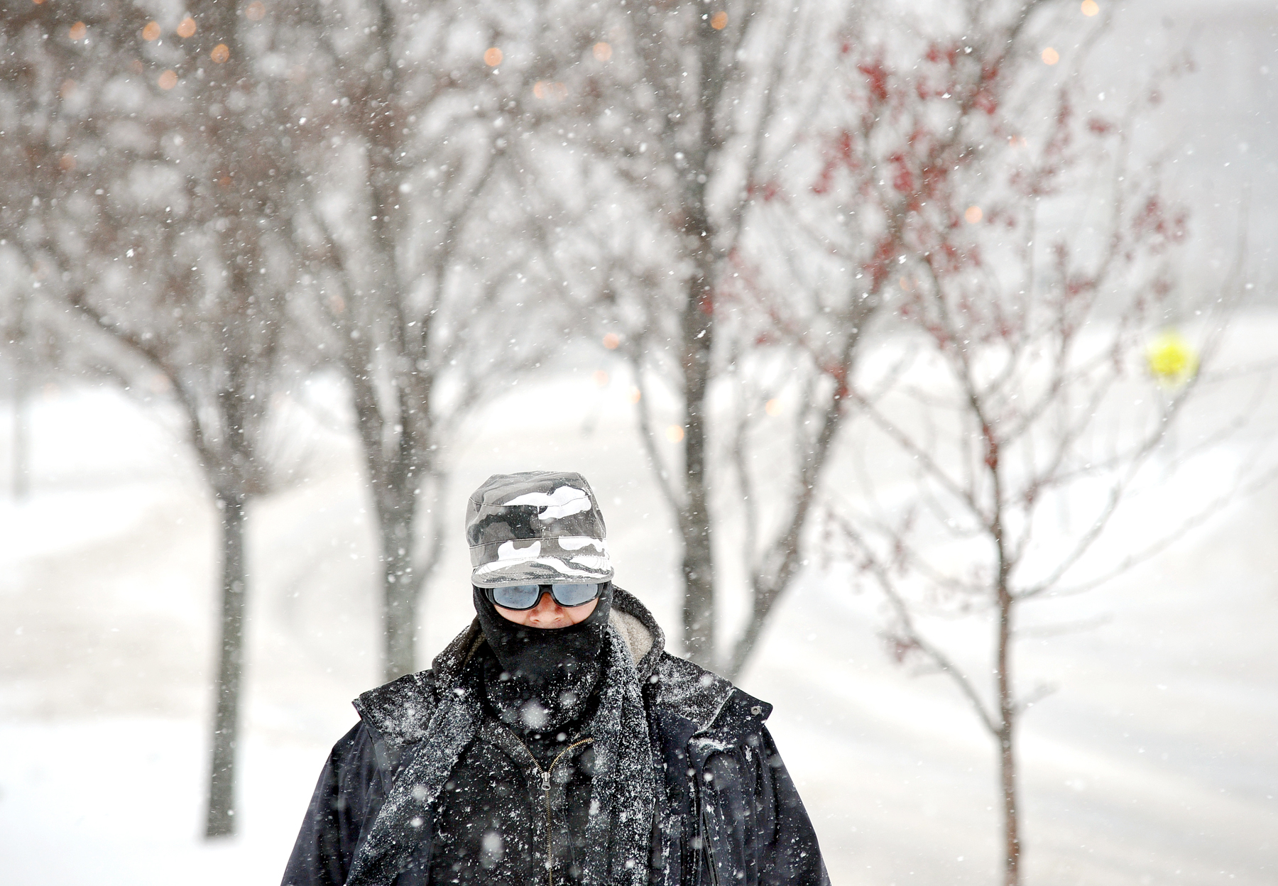
Though only a few inches had fallen around the area, snow accumulations around Lewiston-Auburn are expected to reach 12 to 15 inches before the storm is finished, he said. Totals could exceed 18 inches further inland in communities around Franklin and Oxford counties.
Meanwhile, blowing snow could be a complicating problem. Wind gusts are expected to reach 35 to 45 miles an hour, leading to snow drifts and limiting visibility to a quarter-mile or less, he said.
“This low (pressure system) will move over Cape Cod this afternoon and into the Gulf of Maine tonight,” Hawley said. We’re looking at bands of heavy snow during the day today. At times we may see two or three inches an hour, and at times it may be fairly light snow.
“This thing probably won’t wind down until evening, somewhere between 8 p.m. and midnight,” he said. “I’d say it won’t be completely over until sunrise Friday.”
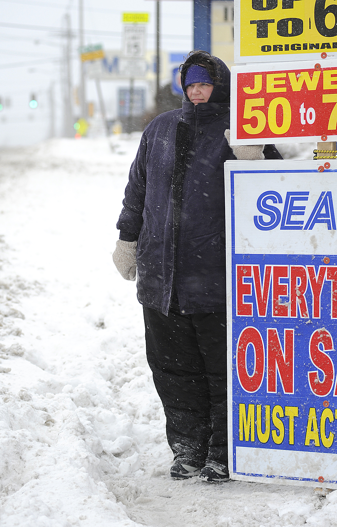
Besides the closure of most government offices, many private businesses have also shut their doors.
And though traffic on streets has been light, there have been numerous cars sliding off roads. Local emergency dispatchers said this morning that there were no serious accidents to report.
However, the Maine Turnpike, which lowered its speed limit to 45 miles an hour for its entire length, reported that a tractor-trailer jack-knifed across the highway’s northbound lanes at mile 64 in Gray.
Already slow traffic was delayed as workers moved the truck out of the way.

Comments are no longer available on this story